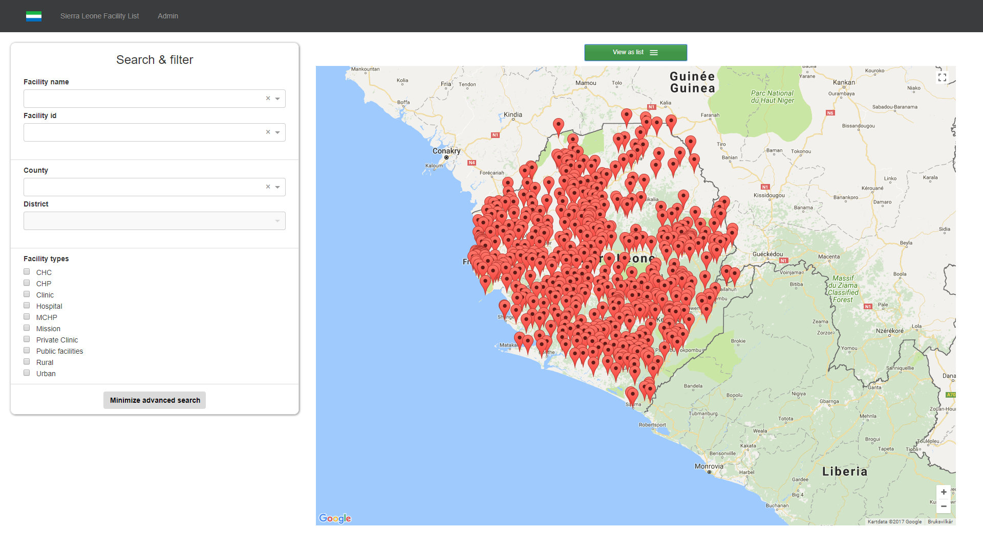
File:MFL - Map view.png
From mn/ifi/inf5750
Size of this preview: 800 × 450 pixels. Other resolutions: 320 × 180 pixels | 1,920 × 1,080 pixels.
Original file (1,920 × 1,080 pixels, file size: 396 KB, MIME type: image/png)
This is where you can see the location of facilities on the map
File history
Click on a date/time to view the file as it appeared at that time.
| Date/Time | Thumbnail | Dimensions | User | Comment | |
|---|---|---|---|---|---|
| current | 23:15, 5 December 2017 | | 1,920 × 1,080 (396 KB) | Vebjorkv@uio.no (talk | contribs) |
- You cannot overwrite this file.
File usage
The following page links to this file: