JonasBrothers+1
Contents
Description
Project: Facility Registry App
Features
- Present org units and facilities on a map.
- Make the search for an individual organizational unit/facility intuitive and simple, using a live search.
- Present the information pertaining to the chosen facility in a drop-down menu beneath its name.
- Allow direct editing of an organizational units/facilitys information.
Architecture
- Single-paged with Angular JS.
Technologies and Frameworks
- Bootstrap
- HTML 5 & CSS 3
- Angular JS
- DHIS2 Web app
- Google Maps JavaScript API
Milestones
Milestone 1: November 1st
- Document features and architecture on Wiki.
Milestone 2: 15th November
- First bare-bone version - static HTML.
- Uploadable as DHIS2 web app.
Milestone 3: 30th November
- Main version finished.
- Final testing and polish begun.
Deadline: 5th December
Final Delivery 8th December & Presentation 9th December.
Distribution of Tasks
The distribution of tasks came to as we progressed with the project, with each of us working on various aspects.
A substantial amount of the work was done as collaboration on single computers, which might not be reflected by the individual commits in the repository.
In general terms each of us did:
Jonas Meier Strømme:
- Adding new Organisation Units/Facilities.
- Editing existing units.
- General design of UI.
Jonas Evensen
- Finding the location of the user.
- Finding the closest facility to the user.
- Passing coordinates selected by the user when creating a new facility.
- Initial search.
Haakon Wilhelm Ravik
- Implementation of the map and interaction with Google Maps API.
- Division of map into Organisation Units/Districts with borders.
- Creation and updating of markers/borders on selection of units.
Repository
Screenshots
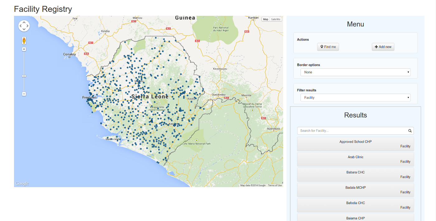
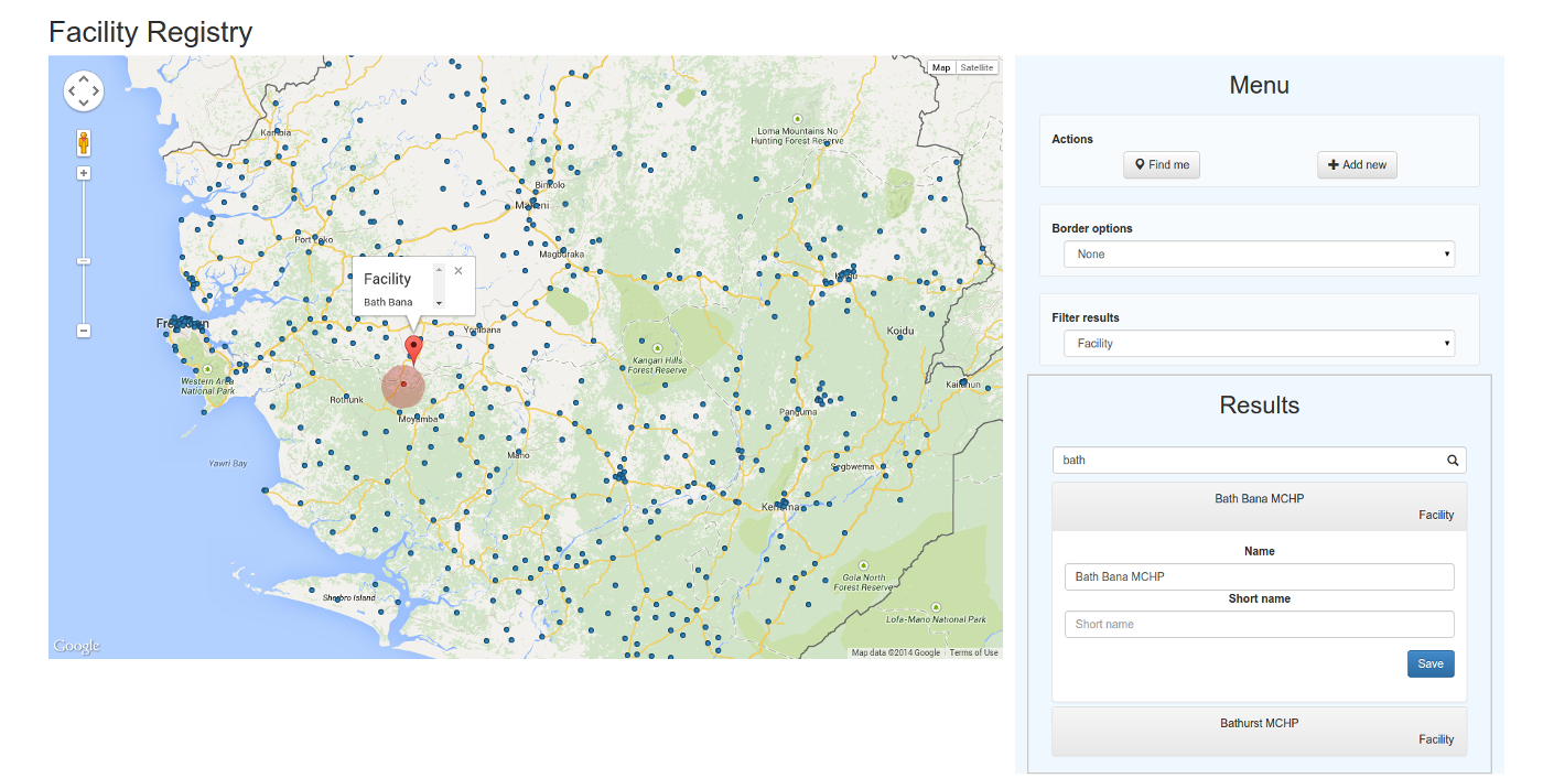
General Overview
Add New Facility

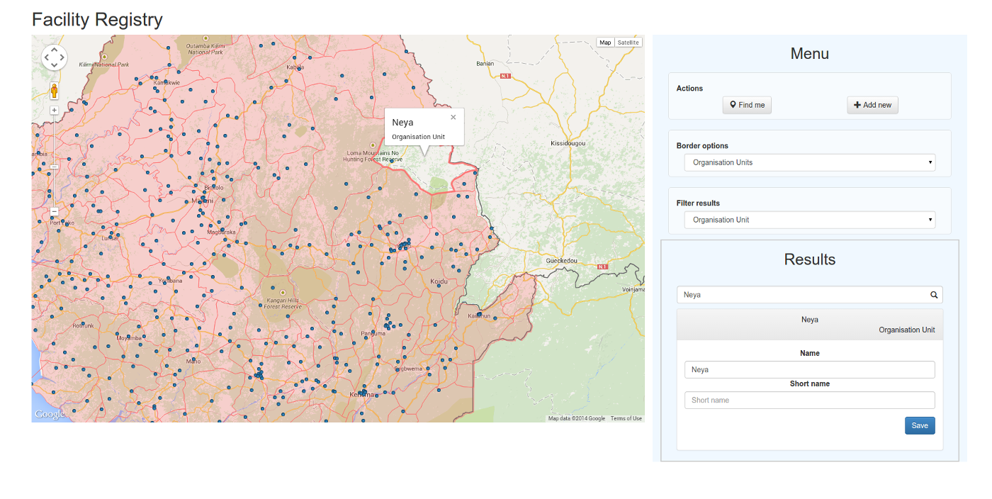
Organisation Unit Borders
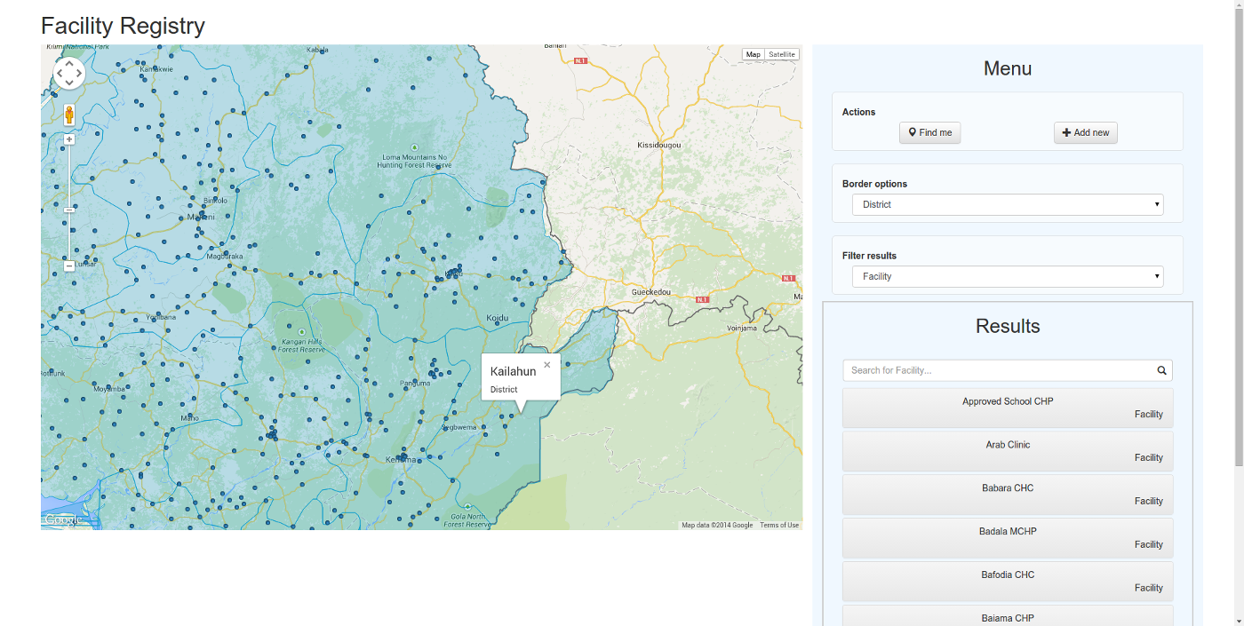
District Borders
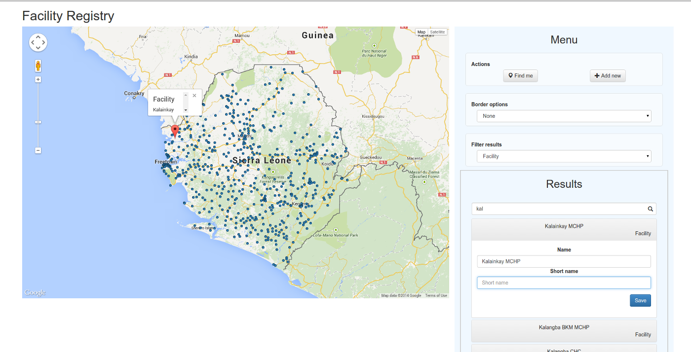
Selecting a Facility
Find Closest Facility
Documented Learning
None of us have had previous experience with AngularJS, the GoogleMaps API or DHIS, which resulted in a pretty harsh starting phase. Some of us had some previous interactions with Javascript, HTML and CSS, but to a limited degree, and not on bigger projects.
The result of this is that the project slowly improved along with our competence with the given tools.
In the end we've all worked sufficiently with AngularJS, HTML and CSS (and to some extent the DHIS and Google Maps APIs) now to be able to create simple, functional web-applications.
Suggested API Improvements
- More documentation on the usage of GeoJSON, especially examples. The current documentation is lacking and confusing, leaving many questions which cannot be answered on the page.
- Many more examples than currently exists on authorization.
Team Members
- Jonas Evensen
- Jonas Meier Strømme
- Haakon Wilhelm Ravik